Operating Concept
How it fits the response loop
Fuses satellite, aircraft, sensor, weather, terrain, fuel, utility and incident data into a continuously updated operating picture. Recommendations remain advisory until authorized by incident command.
 AURORA DESIGN SYSTEMSEngineering Systems • Applied Research • Product Architecture
Contact
AURORA DESIGN SYSTEMSEngineering Systems • Applied Research • Product Architecture
Contact
Human-led decision, data-fusion and digital-twin layer for detection, prediction, asset coordination and incident verification.
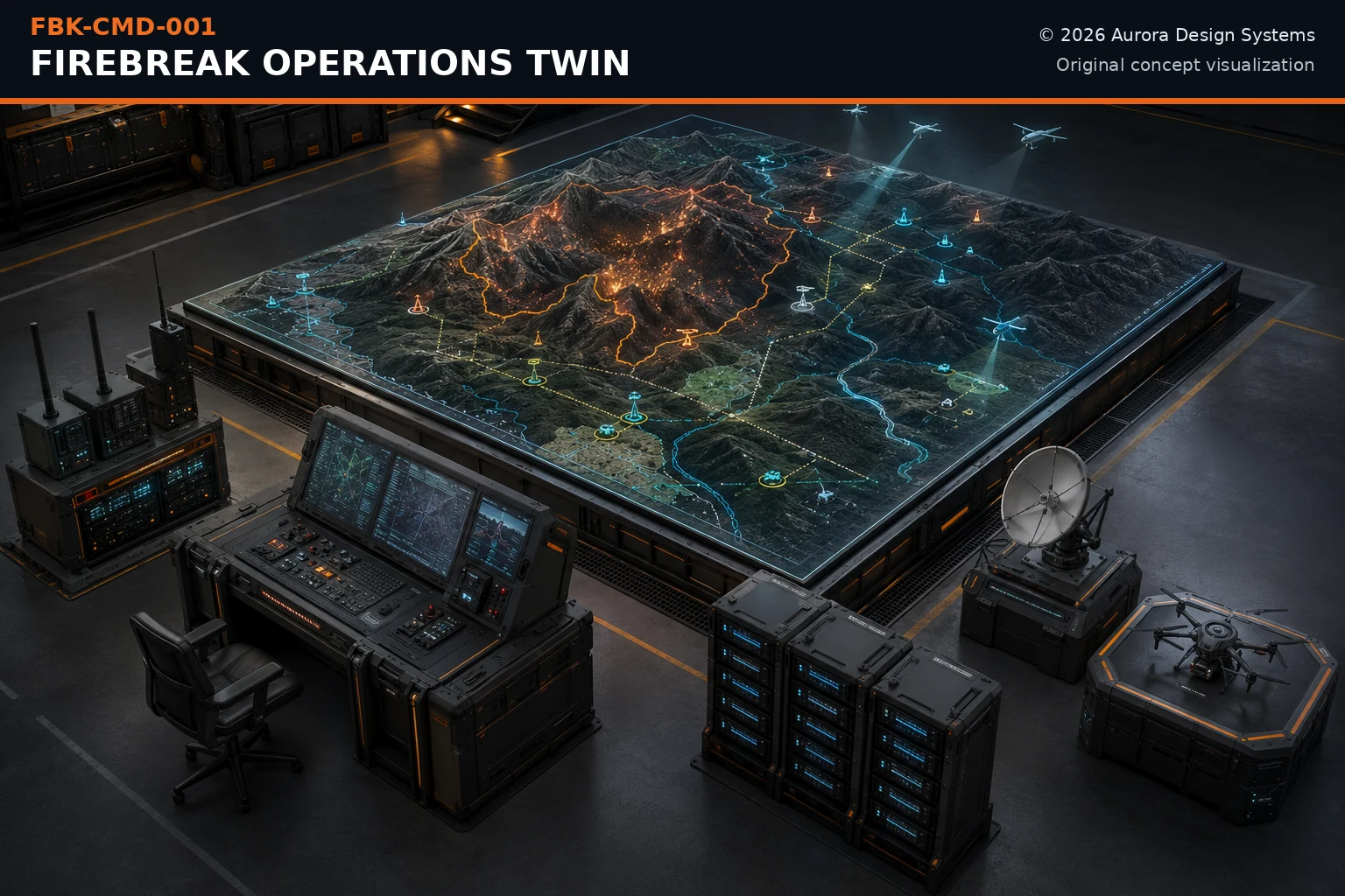
Fuses satellite, aircraft, sensor, weather, terrain, fuel, utility and incident data into a continuously updated operating picture. Recommendations remain advisory until authorized by incident command.
This component is one element of a larger human-commanded response architecture. Its public role is bounded by verified inputs, authorized action, safe fallback, and post-event confirmation.
Open mission family →These are functional blocks—not a procurement bill of materials, manufacturing drawing, or construction specification.
Local inference, geospatial processing and continuity during network loss
Human authorization, tasking and decision display
Satellite, public-safety radio, cellular, mesh and fiber interfaces
Common operating picture and uncertainty tracking
Controlled dispatch to aircraft, robots, pumps and fixed infrastructure
Black-start, ride-through and tamper-evident records
This page does not publish dimensions, formulas, agent compositions, control thresholds, source code, fabrication drawings, site-specific operating procedures, or certification claims. Any future implementation requires prior-art review, engineering analysis, hazard assessment, environmental qualification, human-factors review, independent testing, and approval by the relevant authorities.